Back to News
News AlertWorld Defence Tech
Militaries Are Betting Their Drones Won't Have GPS When It Matters — So They're Teaching Them to Fly Without It
S
Author
Saumya Dawande
Published
September 21, 2026
Reading Time
4 MIN READ
Spread the Word
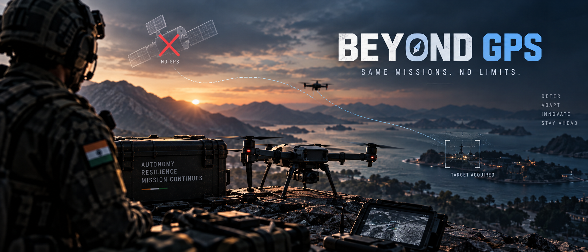
Indo-Pacific militaries are moving AI processing onto the device itself. This week, one navigation company says it located a target with the camera covered the entire flight.
Two days ago, the Indo-Pacific Defense Forum — a publication affiliated with U.S. Indo-Pacific Command — reported on a shift that's easy to miss because it's happening inside hardware, not on a battlefield map: regional militaries are moving AI processing off distant servers and onto the drones, ships, and sensors themselves. The reason is blunt. Cloud-based AI needs a live connection back to a data center, and in modern conflict zones, that connection is exactly what gets jammed first. Indo-Pacific Defense Forum
India is named specifically in that reporting, and not as a bystander. Dr. Sameer Patil, director of the Centre for Security, Strategy and Technology at Mumbai's Observer Research Foundation, told the Forum that as the Indian military fields more connected platforms — AI-enabled counter-drone systems and networked sensors among them — edge computing becomes the thing holding the whole network together, rather than a nice-to-have upgrade. That's the direct successor to the traffic-management trials the IAF ran at Dronathon-2026 earlier this week: knowing where your own drones are is only half the problem once GPS itself becomes unreliable. Indo-Pacific Defense Forum
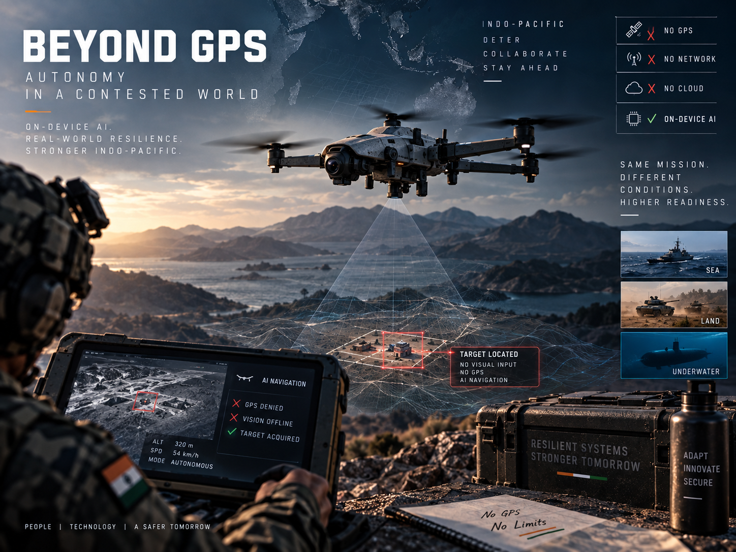
The clearest illustration of what "GPS-denied" actually means in practice came from a smaller, more specific announcement this week. SPARC AI, a defense-tech company developing a cloud-based positioning system called Overwatch, said it completed flight trials in which a test aircraft calculated accurate target coordinates with its camera physically covered for the entire flight — location worked out purely from flight telemetry, with no visual input and no GPS signal at all. That's the company's own claim, not independently verified reporting, and it's worth reading with the appropriate skepticism a small-cap defense contractor's press release deserves. But the demonstration is a useful, concrete example of the actual engineering problem the whole category is chasing: proving a system doesn't quietly depend on one sensor working perfectly. GlobeNewswire
The scale of the underlying problem is what's pulling serious government money in, not just startups chasing headlines. GPS lost-signal incidents rose 220% between 2021 and 2024, and the U.S. Air Force Research Laboratory committed $49.7 million in July toward alternative satellite-navigation technology research running through 2031 — a five-year, government-funded program, which is itself a signal that no single hardware fix is close to solved yet. The Department of Homeland Security's own resilience framework quietly admits the same thing: it defines four separate tiers of GPS-denial resilience for infrastructure operators to choose from, rather than mandating one universal standard, because no single onboard approach currently scales across every use case. GlobeNewswire
None of this is theoretical for militaries with drones already flying near active conflict. Ukraine's roughly 1,200-kilometer front line has persistent jamming as the baseline operating condition, not an occasional disruption, which is precisely why navigation companies are choosing it as their proving ground rather than a controlled test range — a technology that only works in clean signal conditions is worthless exactly where it would need to work. It's also why regional cooperation is starting to formalize around this problem specifically: in May, Australia, the UK, and the U.S. designated AI-enabled payloads for uncrewed underwater vehicles as the first project under Pillar II of the AUKUS partnership, aimed at making autonomous fleets interoperable across all three navies rather than each building isolated, incompatible systems. Indo-Pacific Defense Forum
The open question isn't whether GPS-denied navigation matters — the $49.7 million federal research program and the four-tier DHS resilience framework both say the answer is already yes. It's whether any of the current approaches, vendor claims included, actually hold up at fleet scale and under real adversarial jamming, rather than in a single trial flight with a covered camera. That's a considerably higher bar than a press release, and it's the one the next round of field deployments — not the next round of announcements — will actually test.

Saumya Dawande
B.Tech AIML @ oriental institute of science technology bhopal
Engineering and tech journalist. I love exploring the impact of emerging technologies on global defense, sovereignty, and everyday life. Always looking for the real story behind the headlines.